There’s no doubt about it – here at Tamar Valley Cottages we’re privileged to be positioned in one of England’s finest areas of unspoilt countryside. Word seems to be getting out that the Tamar is a wonderful place to visit – but how much did you know about the valley’s fascinating geography? Read on!
The Tamar starts its journey to the south coast of England, near Morwenstow, less than four miles from the Bristol Channel on the North Coast of Cornwall.
The exact location is hard to pinpoint even for a seasoned geographer – it arises somewhere in the region of Woolley Bog which as the name suggests is more of a marsh than a single trickle of water.
Despite its proximity to the north coast, the Tamar gently wends its way southwards crossing the entire county to reach the sea.
In contrast, rising less than a third of a mile away from the Tamar’s source, the river Taw flows into Bideford Bay in the Bristol Channel.
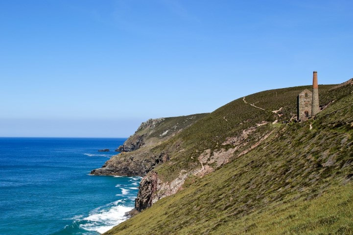
Draining an area of approximately 230 square miles, its length is generally accepted as being 61 miles, and it enjoys a very gentle descent for its entire length, except for what the geographers call an ‘’Knick point” (a sudden steepening of the slope) near Gunnislake, which also marks the beginning of the tidal (and historically industrial) stretch of the river.
Eventually, the Tamar becomes the Hamoaze (pronounced Ham-Oze – the estuary stretch of the river), famously spanned by the Brunel bridge, and then on into Plymouth Sound where it finally reaches the English channel.
It is widely regarded as being the border between Cornwall and Devon, and for the majority of its length this holds true.
The two exceptions are in our own parish of North Tamerton, where Cornwall bites across the Tamar (the only place where you can cross the Tamar and stay in Cornwall), and a few miles north where Devon returns the favour at Bridgerule.
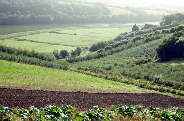
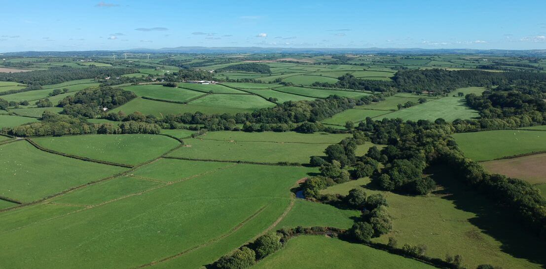
The geography of the Tamar offers some exceptionally diverse landscapes and habitats, from undulating pasture to dense woodland, from mud flats to moorland, and accordingly offer a unique environment for wildlife.
In recognition of this, the Tamar estuary areas are recognised as a Site of Special Scientific Interest, an Area of Outstanding Natural Beauty, and (currently) a European Special Area of Conservation.
If you haven’t visited the area before, here are a few reasons why you might want to consider it.